Rnaturalearth
An R package to hold and facilitate interaction with natural earth map data :earth_africa:
[](https://CRAN.R-project.org/package=rnaturalearth) The project is written primarily in R, distributed under the Other license, first published in 2015. Key topics include: peer-reviewed, r, r-package, rstats.


![]()
rnaturalearth
An R package to hold and facilitate interaction with Natural
Earth map data.
This package provides :
-
access to a pre-downloaded subset of Natural Earth v4.1.0 (March 2018)
vector data commonly used in world mapping -
easy subsetting by countries and regions
-
functions to download other Natural Earth vector and raster data
-
a simple, reproducible and sustainable workflow from Natural Earth
data to rnaturalearth enabling updating as new versions become
available -
clarification of differences in world maps classified by countries,
sovereign states and map units -
consistency with Natural Earth naming conventions so that
rnaturalearth users can use Natural Earth documentation -
data in
sforsvformats
The Natural Earth website
structures vector data by scale, category and type. These determine the
filenames of downloads. rnaturalearth uses this structure to facilitate
download (like an API).
Install rnaturalearth
Install from CRAN :
rinstall.packages("rnaturalearth")
or install the development version from GitHub using
pak.
rpak::pkg_install("ropensci/rnaturalearth")
Data to support much of the package functionality are stored in two data
packages that you will be prompted to install when required if you do
not do so here.
rpak::pkg_install("ropensci/rnaturalearthdata") pak::pkg_install("ropensci/rnaturalearthhires")
First usage
Here using plot as a simple, quick way to plot maps. Maps could also
be made with ggplot2, tmap or other options. All retrieval functions
accept an argument returnclass = "sf" to return package sf (Simple
Features) or returnclass = "sv" (SpatVector) objects.
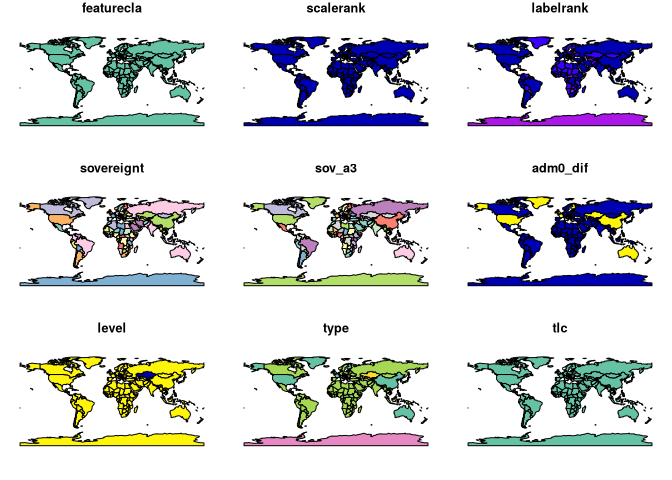
rlibrary(rnaturalearth) # world countries plot(ne_countries()) Warning: plotting the first 9 out of 168 attributes; use max.plot = 168 to plot all
 <!-- -->
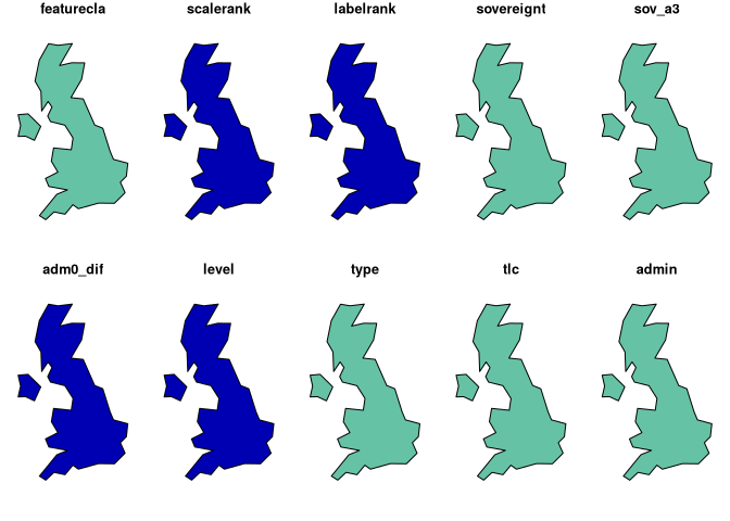
r# uk plot(ne_countries(country = "united kingdom")) Warning: plotting the first 10 out of 168 attributes; use max.plot = 168 to plot all
 <!-- -->
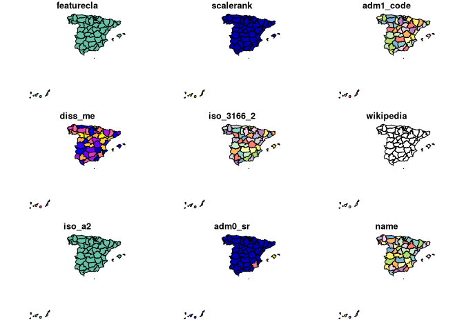
r# states, admin level1 boundaries plot(ne_states(country = "spain")) Warning: plotting the first 9 out of 121 attributes; use max.plot = 121 to plot all
 <!-- -->
Introductory vignette
rvignette("rnaturalearth", package = "rnaturalearth")
To download Natural Earth data not already in the package
There are a wealth of other data available at the Natural
Earth website. rnaturalearth has
functions to help with download of these data.
The data available are outlined in the two tables below and online
here.
category   cultural

category   physical
Specify the scale, category and type of the vector you want as in
the examples below.
r# lakes lakes110 <- ne_download(scale = 110, type = "lakes", category = "physical") plot(lakes110) # rivers rivers50 <- ne_download( scale = 50, type = "rivers_lake_centerlines", category = "physical", returnclass = "sf" ) library(ggplot2) library(sf) ggplot(rivers50) + geom_sf() + theme_minimal()
Details of different country definitions and scales
rvignette("what-is-a-country", package = "rnaturalearth")
Reproducible download of Natural Earth data into the package
Script
used to get data into the accompanying data packages.
Errors in the data?
If you believe there is an issue with data provided by Natural
Earth, please do not report it here.
We are not responsible for the accuracy or maintenance of Natural Earth
data. For any concerns regarding this data, please contact Natural
Earth.
Acknowledgements
Thanks to Lincoln Mullen for code
structure inspiration from
USAboundaries, Hadley
Wickham for comments and prompting, Bob
Rudis for answers to stackoverflow
questions about downloading Natural Earth data into R. The Natural
Earth team and
Nathan Kelso for providing such a great
resource.
Potential future work
Potential additional data
- Country synonyms lookup
- dataframe with ISO3 and country synonyms
- similar to
https://github.com/AndySouth/rworldmap/blob/master/data/countrySynonyms.rda
- Country larger regions lookup
- dataframe with ISO3 and membership of different regional groupings,
e.g. continent, least developed countries etc. - similar to
https://github.com/AndySouth/rworldmap/blob/master/data/countryRegions.rda
- dataframe with ISO3 and membership of different regional groupings,
Potential additional functions
- facilitate joining of user data to country boundaries
- similar to
https://github.com/AndySouth/rworldmap/blob/master/R/joinCountryData2Map.R - … but with a better name
- similar allowing of join by ISO codes or names, with attempted
synonym matching - similar reporting of country joining success and failure
- similar to
- facilitate subsetting by country groupings
- e.g. least developed countries etc.
Contributors
Showing top 8 contributors by commit count.


Related Repositories

ropensci/drake
An R-focused pipeline toolkit for reproducibility and high-performance computing
ropensci/skimr
A frictionless, pipeable approach to dealing with summary statistics
ropensci/targets
Function-oriented Make-like declarative workflows for R
ropensci/tabulapdf
Bindings for Tabula PDF Table Extractor Library

tonyfischetti/assertr
Assertive programming for R analysis pipelines
ropensci/visdat
Preliminary Exploratory Visualisation of Data